Many years ago I found a map framed and fixed onto a veranda wall of the house we had moved into. A bit of the glass had broken and about a third of the map had been damaged. Over the years the rest of the glass broke off and the whole map was lost.
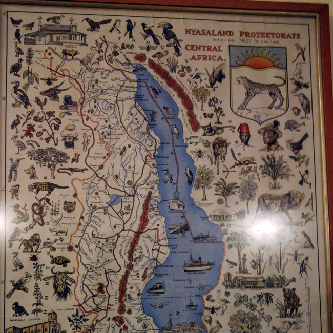
The map provided illustrations of wildlife, vegetation and activities in the different parts of Nyasaland Protectorate, now Malawi.
I thought of trying to remake this tourist map, to a certain extent, because it would be near impossible to find a replica. I needed something my kids could read and gain knowledge from about their country. So with the help of travel, Google Maps and Wikipedia, I started putting my map together. I soon realised I didn’t have the time and energy to make anything close to a replica. I replaced the illustrations with narratives of places of interest.
Phase 1: First map printout
The first task was to create a softcopy of the map and find details of the different tourist landmarks in Malawi.
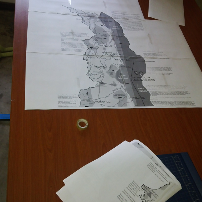
After a few days of work, I printed the map out on A4 paper and stuck it all together. I wanted to have an idea of what the map would look like.
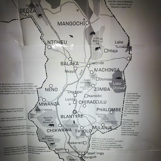
The text was too large! Things were getting in each other’s way.
So I got back to work and it dragged over a few months. I had to make way for projects that would put food on the table.
Phase 2: Progress
After a few weeks, I got back to the project. I had something that resembled a map.
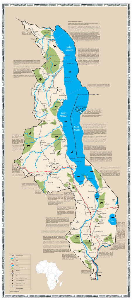
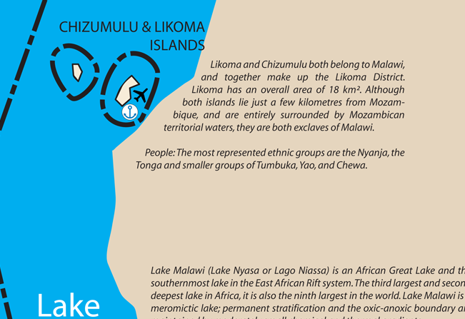
Likoma and Chizumulu Islands are Malawian exclaves located in Mozambican waters.

Between Dedza and Ntcheu, the main M1 road forms the boundary between Malawi and Mozambique. The views into Mozambique can be breathtaking.
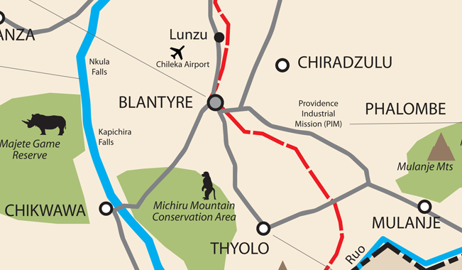
Blantyre district and its environs have a wealth of tourist attractions including the Majete Game Reserve and the Mulanje Massif.
Phase 3: Version 1 printout
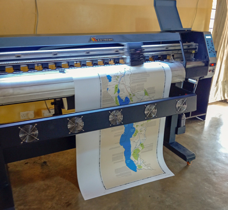
After close to five years of not working on this map project, I decided it needed to move ahead. My son was interning in my office so I got him to create and edit descriptions of more tourist attractions and places of interest. I squeezed them on the map and got my trusted large format printer, Homesphere Advertising, to produce the first printout.
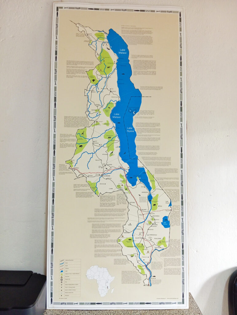
Placed in my office, I have a good feel for the product.
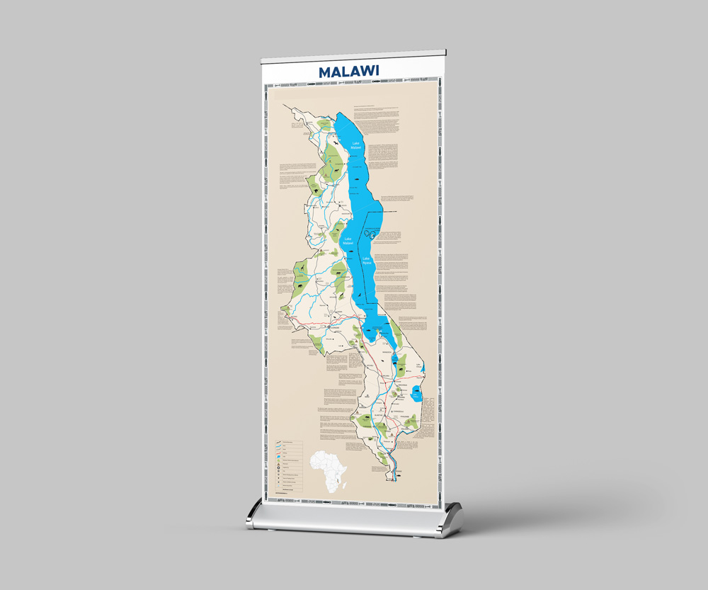
Working on the final version. Watch this space. And no, it won’t take another year!